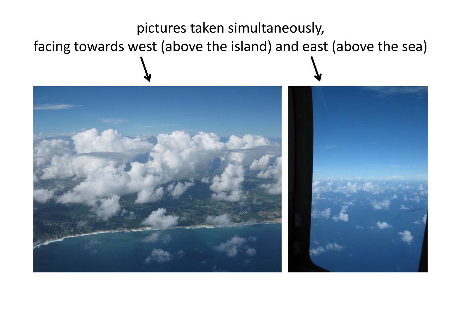
Our 15th research flight took place yesterday, Thursday Nov. 25th. As often before, we first headed out east to the sea and then flew north along the coastline, above the water, at a heights of about 200ft above ground (for ACTOS). When we were at our waypoint “C1” (east of Ragged Point), we started a profile, heading north, that carried us up to our maximum heights of 8000ft. The cloud base was at about 2000ft, and higher up there were again small cloud layers at about the cloud top heights (at about 6000ft - well, a few cumulus clouds extended above that height). After having finished the profile we tried to sample these thin layers for a while. However, they were not only thin but also not very stable, so we have to see in the data how much of them we really sampled. In general, there were more of these small cloud layers and also more and larger cumulus clouds above land than above the sea.  We also chased cumulus clouds for a while (there were enough around). We were going round and round and round, so that we eventually were at the north-west-coast of Barbados. We went back to the eastern side of the island, and descended back south, above water, towards “C1”, at the heights of the clouds, from about 5500ft to 2000ft, without much contact to clouds (really only a few seconds). Having reached “C1”, we flew a last level leg below cloud base, at 1500ft, towards the airport.
 We also chased cumulus clouds for a while (there were enough around). We were going round and round and round, so that we eventually were at the north-west-coast of Barbados. We went back to the eastern side of the island, and descended back south, above water, towards “C1”, at the heights of the clouds, from about 5500ft to 2000ft, without much contact to clouds (really only a few seconds). Having reached “C1”, we flew a last level leg below cloud base, at 1500ft, towards the airport.
Keine Kommentare:
Kommentar veröffentlichen